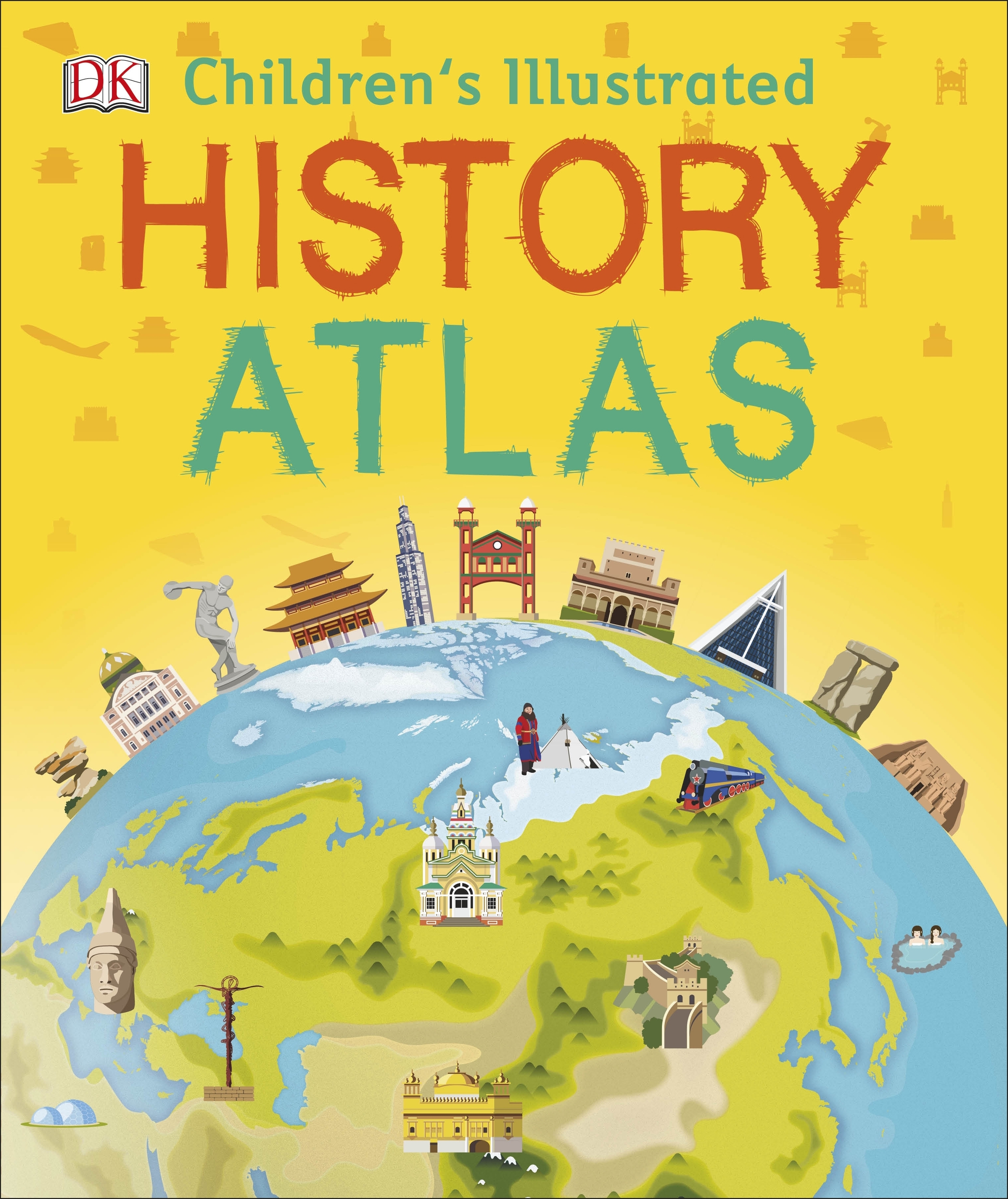
Книга Childrens Illustrated History Atlas
Характеристики:
Замовлення
Доставка
Оплата
Книга Childrens Illustrated History Atlas
Немає в наявності
535 грн
Самовивіз:
Безкоштовно
вул. Митрополита Андрея Шептицького, 14 (офіс Dinternal Education)
Безкоштовно
Самовивіз з Нової пошти:
За тарифами служби доставки (на замовлення від 2000 грн - безкоштовно)
Кур'єром Нової Пошти
За тарифами служби доставки
Готівковий розрахунок
Онлайн оплата LiqPay
Оплата при доставці
Безготівкова оплата для фізичних та юридичних осіб
Опис товару
Відгуки (0)
Bring history to life with more than 40 colourful maps in this children's atlas full of fascinating nuggets of information about our past. This beautiful history atlas helps children learn about world history all the way from the first people leaving Africa right up to how the world looks now, with a modern world map. Journey around the world as you learn its history, with maps showing everything from the awe-inspiring Great Wall of China to the when and how of the US Civil War. Children are shown how to read a map and how to use a key, compass, and scale. Each map is bursting with information, such as how big the Roman Empire was, how explorers made incredible journeys around the world, and when humans first travelled into space. Children's Illustrated History Atlas is an essential addition to every child's library. Young history buffs will love this time-travelling adventure.
Тут поки що ніхто нічого не написав. Будь першим!
Щоб залишити відгук на книгу, авторизуйтесь


